Yosemite Falls Day Hike
Yosemite National Park
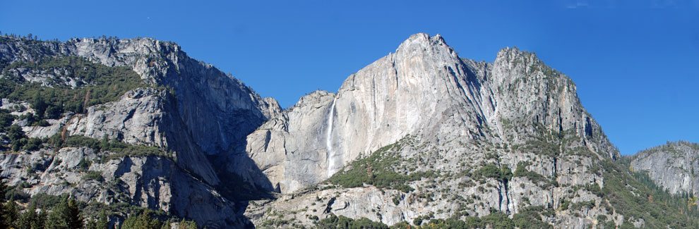
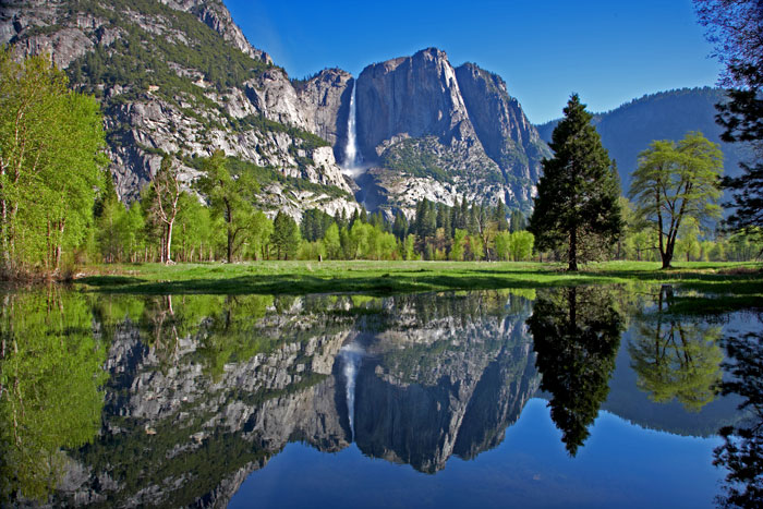
Yosemite Falls plunges 2,425 feet from the upper rim of the valley to the bottom of the lower falls. While many view the falls from the Lower Yosemite Falls Trail, others choose the moderate to strenuous hike up the Yosemite Falls Trail.
A 2-mile round-trip hike to Columbia Rock viewpoint along the trail is a great outing by itself. The full 7.2-mile round trip hike climbing all 2,700 feet to the top of the falls is a strenuous and marvelous accomplishment, rewarded by spectacular views of the valley and distant peaks.
Yosemite Falls
Yosemite Falls Trailhead
Strenuous
2 or 7.2 mi.
1000' - 2700'
Yosemite
The Yosemite Falls Trailhead is next to Camp 4, northwest of Yosemite Lodge, by shuttle bus stop #7. A drinking fountain is near the trailhead and restrooms are available in Camp 4.
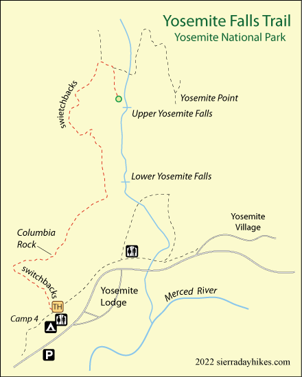
Yosemite Falls Trail
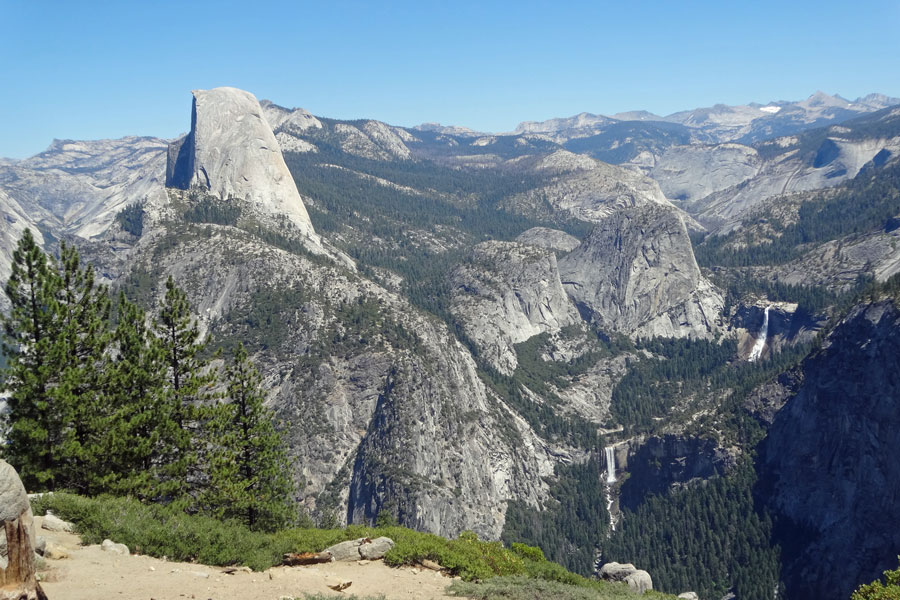
Access the trail off the Valley Loop Trail near Camp 4 at an elevation of 3,980 feet. The climb begins almost immediately with numerous switchbacks. For the first part of the hike, trees block the view but farther up glimpses of the valley and iconic granite summits begin to appear. After a mile arrive at Columbia Rock with views of the valley, Half Dome and Sentinel Rock. Another ½ mile on the trail leads to wonderful views of Upper Yosemite Falls.
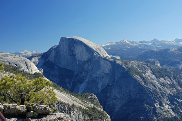
Half Dome from Top of the Falls
A steep, rough uphill hike remains to reach the summit of the falls. Once at the top the trail loops back and down to a point near the rim of the falls. A railed-in viewing area allows visitors to safely look down into the valley and gaze across to distant peaks in the Clark Range.
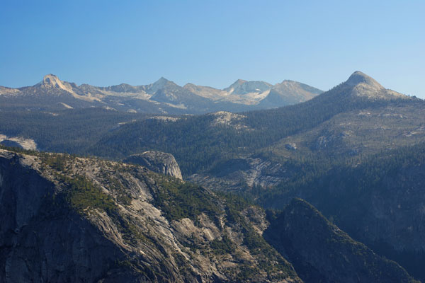
Clark Range with Mt. Clark on Left and Mount Starr King on Right
Things to Know
- Pets, bicycles, and strollers are not permitted on the trail.
- Restrooms are available at Camp 4, but none are available along the trail.
- Drinking water is not available on the trail. The Park recommends that each hiker headed for the top of the falls carry 4 quarts.
- Do not swim or wade in the creek above the falls.
- Be safe and hike with companions.
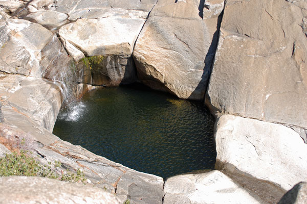
Pool at top of Yosemite Falls
Nearby Sierra Day Hikes
- Bridalveil Fall - short walk to base of beautiful fall
- Lower Yosemite Falls - easy walk to foot of falls
- Mirror Lake - a 1-mile walk out to the lake
Other Nearby Trails
The Yosemite Point Trail connects to the falls trail near the top. The 1.6-mile round-trip leads to a summit with spectacular views of Half Dome, Lost Arrow Spire and other peaks.