Cascade Falls Day Hike
South Lake Tahoe
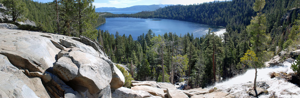
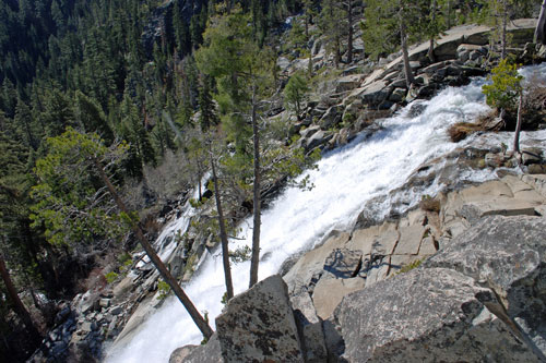
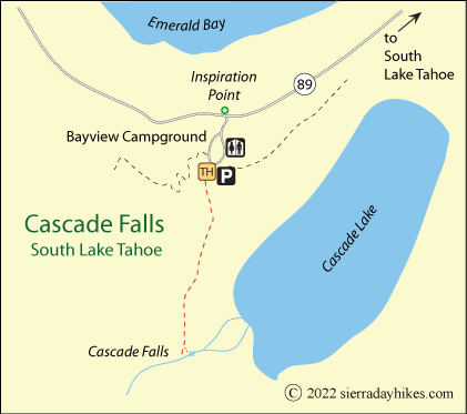
Cascade Falls make a moderate to easy ¾-mile hike from Bayview Campground located across the road from the popular Inspiration Point at Emerald Bay. Hikers make their way over sometimes rocky terrain to the top of 200-foot Cascade Falls with views of Cascade Lake. This hike is best in late spring or early summer when the falls are at their peak.
Cascade Falls
Cascade Falls Trailhead
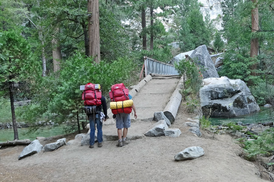
The Cascade Falls trailhead is within Bayview Campground off Highway 89 across the highway from Inspiration Point at Emerald Bay. Parking is available at the trailhead at the upper end of the campground, but at busy times the lot fills quickly. More parking is found on the shoulder of the highway near the entrance to the campground. Facilities at the trailhead include vault toilets and information kiosks, but no water. The trailhead is at an elevation of 6,880 feet.
Cascade Falls Trail
Easy
1½ miles
100' + 150'
Lake Tahoe
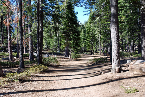
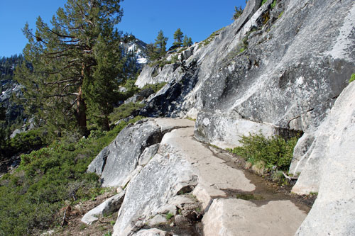
Starting from the head of Bayview Campground, the trail leads along a granite and lightly forested slope above Cascade Lake. The first part of the trail is mostly flat and easy going and leads to a ridge from which the falls can be enjoyed from afar. Then the route becomes a little rockier with many steps. Hiking poles are an advantage in negotiating some of the rocks. Shade is limited.
Cascade Falls Trail
In many places along the trail, views of both Cascade Lake and Lake Tahoe spread out in a wonderful scene. Near the falls, the trail to the creek is obvious, but for those wanting to reach the brink of the falls, a side-trail winds down though the rocks, at times difficult to negotiate and hard to follow. At the falls, use caution if going off-trail and clambering on the rocks. One slip could lead to serious injury.
Overall, the trail out to the falls climbs 100 feet and descends 150 feet, but it feels like more. So save some energy for uphill sections of the return trip.
Things to Know
- Since the hike can be hot, carry plenty of water.
- Restrooms are available at the trailhead but not along the hike.
- Parts of the trail are difficult for those with mobility limitations. Good hiking poles are recommended.
Cascade Falls Trail
Nearby Sierra Day Hikes
- Eagle Falls - an easy hike with views of Emerald Bay
- Mount Tallac - strenuous hike, great views
- Rubicon Trail -beautiful hike along the shore of Lake Tahoe and Emerald Bay
Other Nearby Trails
From Taylor Creek Visitor Center, take the short Rainbow Trail, which includes the popular Stream Profile Chamber. Also follow the easy Lake of the Sky Trail down to a sandy beach on Lake Tahoe.